HD photos of Pont Charles de Gaulle in Paris
As you will see from these photos, the Pont Charles de Gaulle is a modern new bridge over the River Seine in Paris which was completed in 1996, and was designed to ease traffic between two of the busiest train stations in the city called the Gare de Lyon and the Gare d'Austerlitz.
High definition photograph of the Pont Charles de Gaulle bridge over the River Seine
This is an image showing the modern Pont Charles de Gaulle travelling over to the Bercy area, which is actually one of the newest bridges in Paris and was designed to be unobtrusive to still allow views to historical monuments in Paris such as the Gare de Lyon train station with its clock tower.
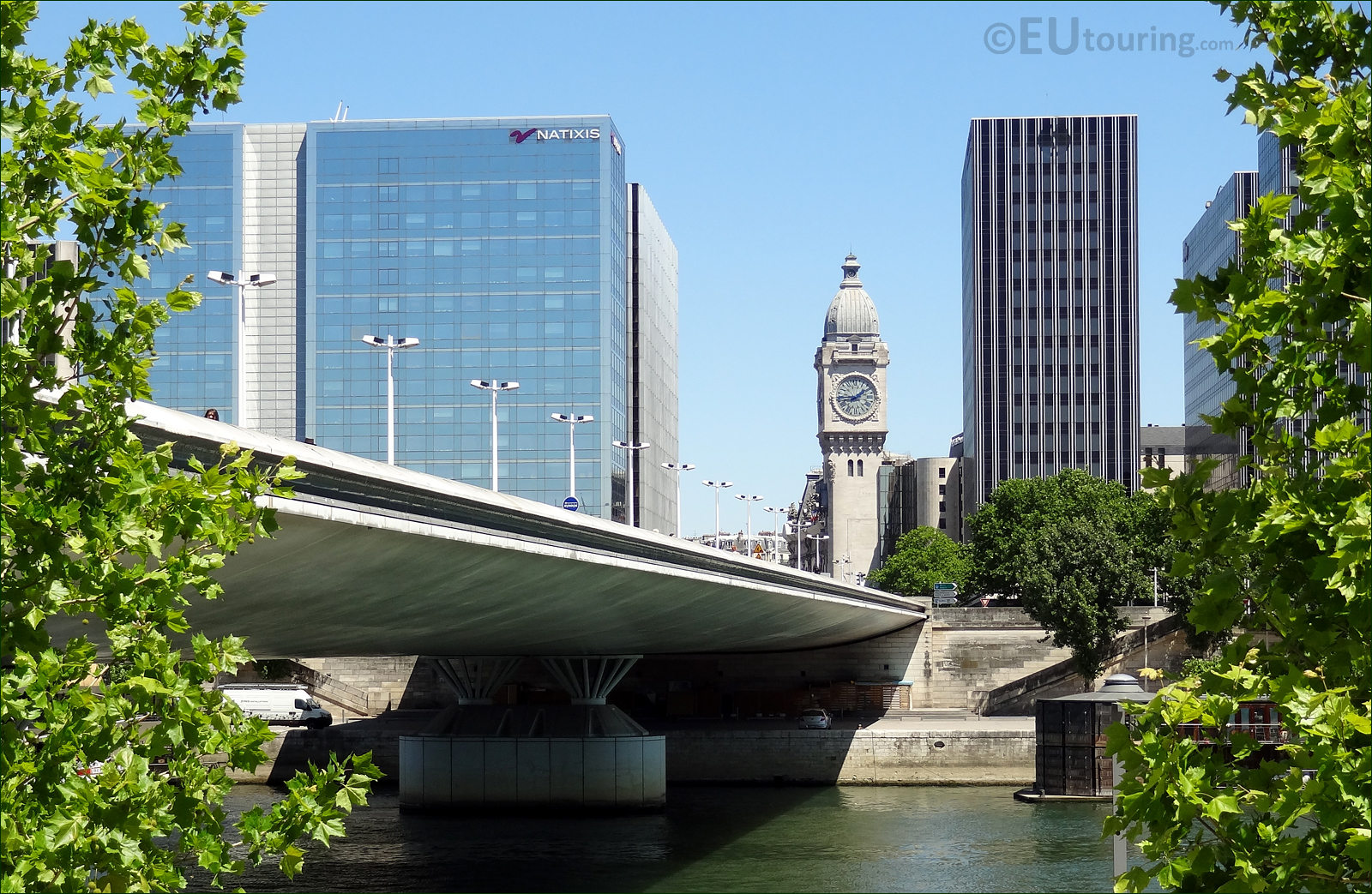
Photo of Pont Charles de Gaulle from Quai d'Austerlitz with the Natixis building
While standing on Quai d'Austerlitz, we took this photo looking over the River Seine and the Pont Charles de Gaulle to the modern office building located on the Quai de la Rapee, which if you look carefully at the image, you may be able to make out the name of Natixis, and this is actually a French corporate and investment bank.
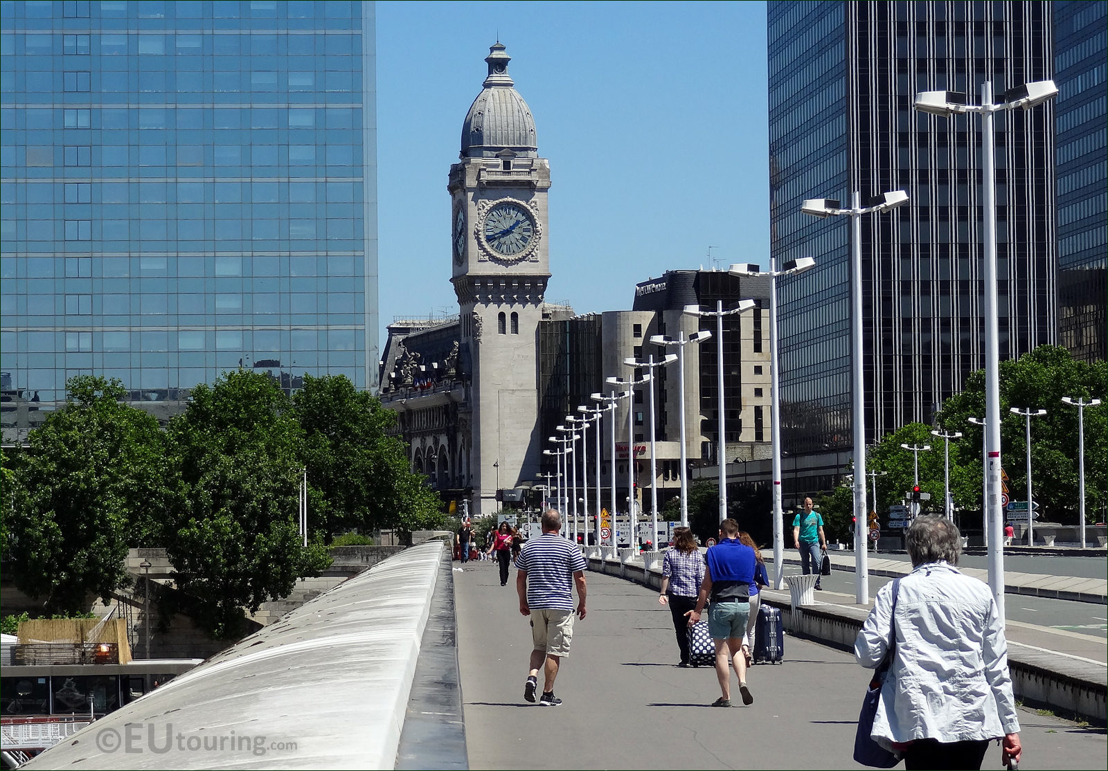
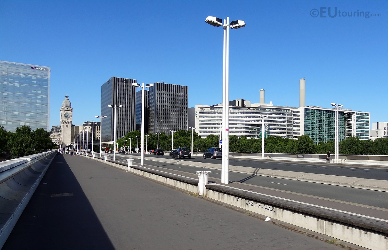
View looking over the Pont Charles de Gaulle towards Gare de Lyon train station
This photo was taken looking over the Pont Charles de Gaulle bridge, which was named after General Charles de Gaulle who led France during World War II, and there are other reminders of him dotted around the city such as the square where the Arc de Triomphe stands, the main airport and a statue close to the Champs Elysees.
Photograph of the clock tower at Gare de Lyon train station from the Pont Charles de Gaulle
The modern street lighting complements the design of the Pont Charles de Gaulle that was envisioned to be like a plane wing with its sloping sides, yet it provides a great link between the Gare d'Austerlitz and the ornate Gare de Lyon as you can see in this image with people pulling their suitcases along to get a connection between the stations.
View showing the south side of the Pont Charles de Gaulle with the River Seine
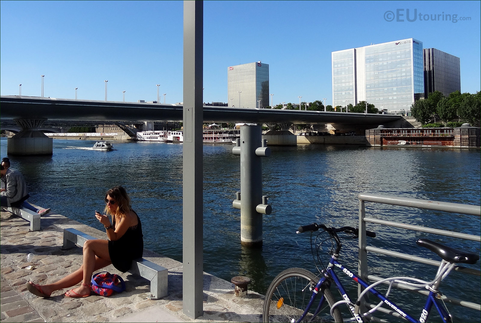
This is a photo of the Pont Charles de Gaulle we took while looking downstream of the River Seine while people were relaxing at the waters edge, and if you look very closely, by the white boat, you may be able to see a part of the Viaduc d'Austerlitz, which is located only 150 metres away from this bridge.
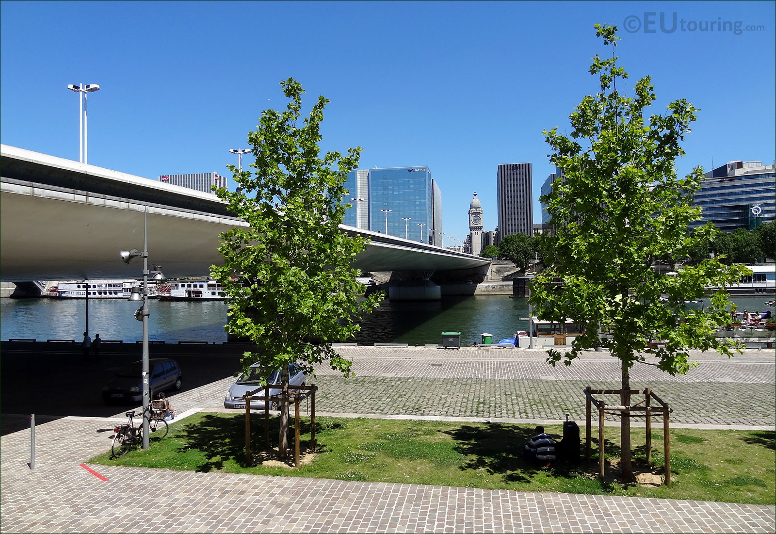
This photo shows the wide south quay side next to the river Seine which goes under Pont Charles de Gaulle
Even though lots of cities have areas that look like a concrete jungle, you will find lovely bits of greenery dotted all over the city of Paris that are ideal for a quick rest, just like this person was doing in the shade of the tree, when we took this photo while standing by the Pont Charles de Gaulle bridge and the River Seine.
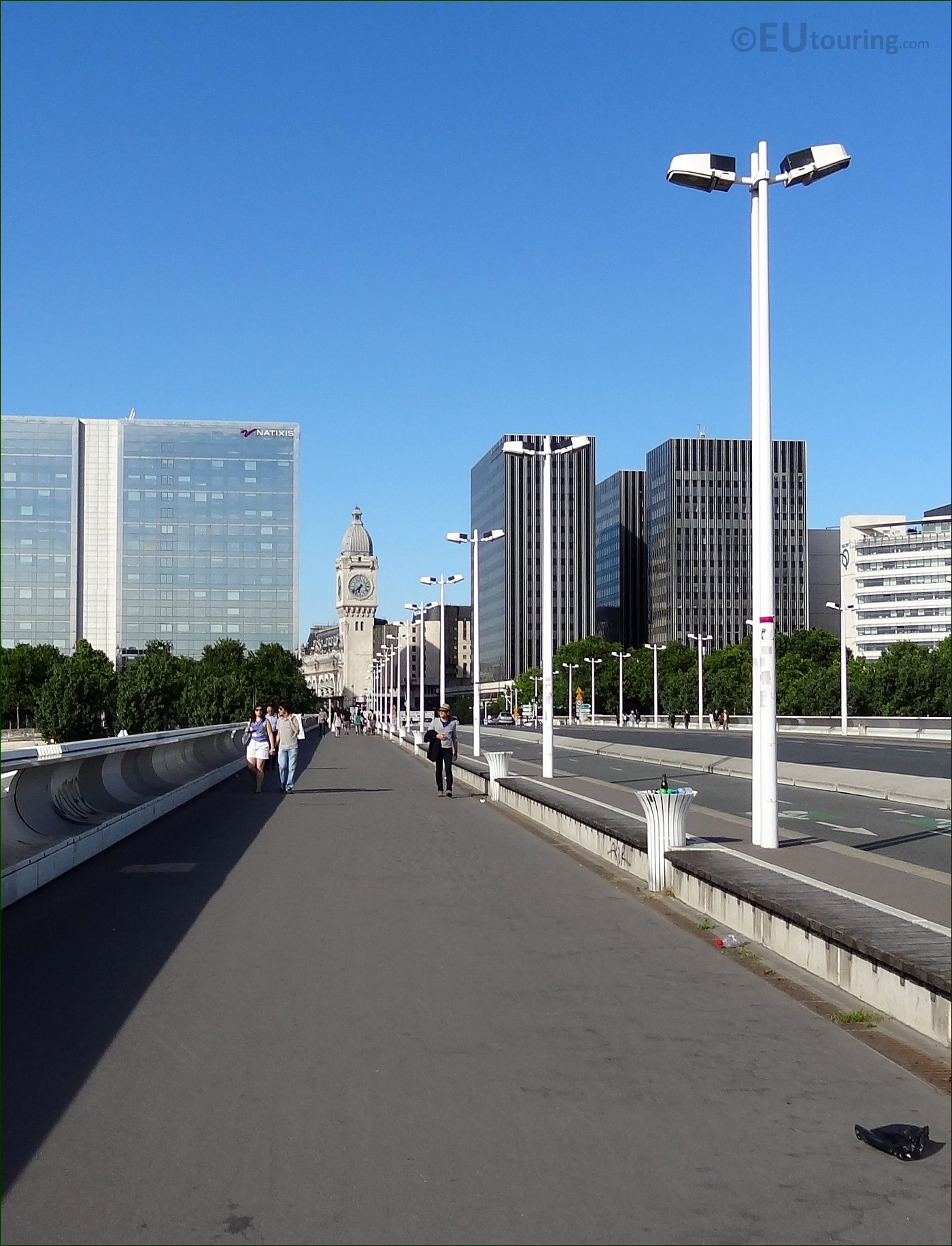
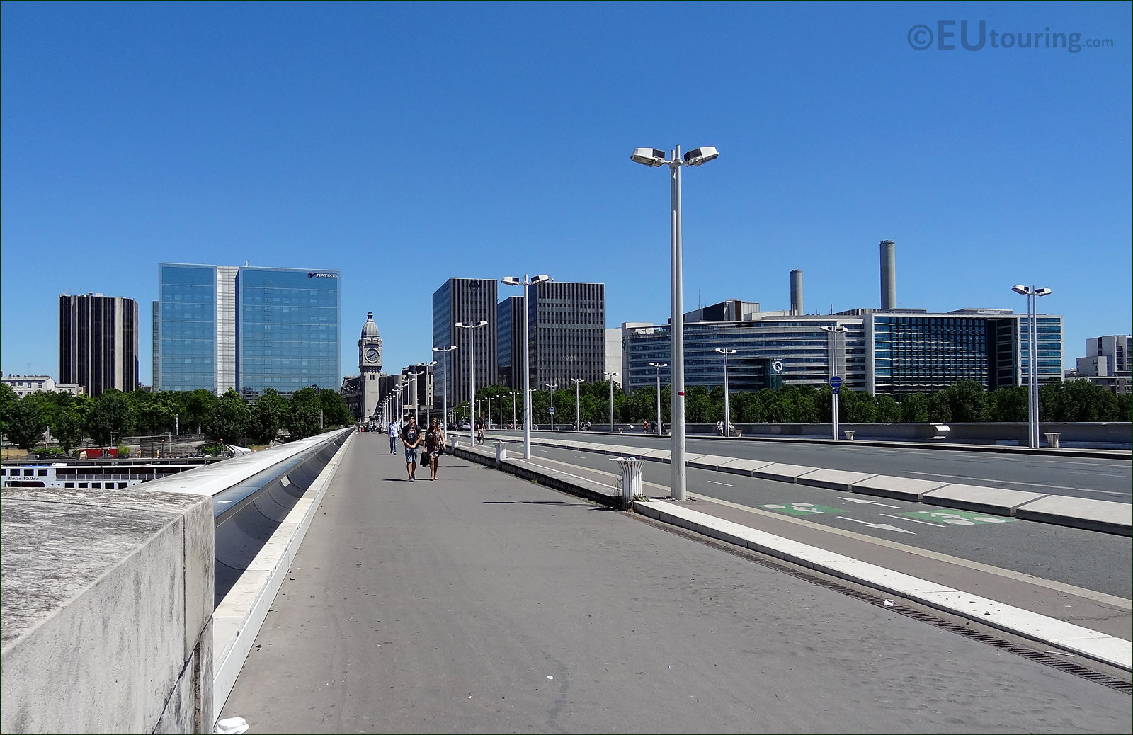
This view shows the 5m wide pathway on the Pont Charles de Gaulle
The Pont Charles de Gaulle is actually one of the longest bridges in Paris at just over 207 metres, but it is also wide, as you can tell from this photo, and the footpaths are actually 5 metres in width each so there is plenty of room for people walking, jogging or even rollerblading.
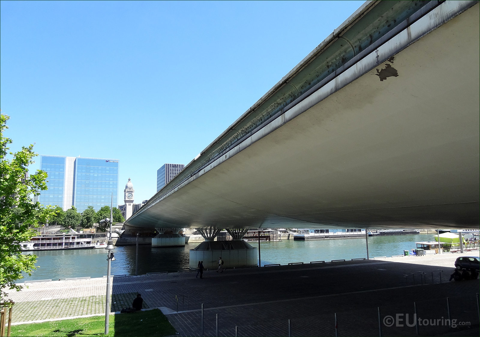
Photo showing the north side of the Pont Charles de Gaulle from the left bank of the River Seine
This is a photo we took from the left bank of the River Seine looking at the Pont Charles de Gaulle bridge going over to the 12th Arrondissement where you can access the Gare de Lyon train station, and a part of this is actually the clock tower you can see in distance in this image.
This photo shows the south side of the Pont Charles de Gaulle, again from the left bank of the River Seine
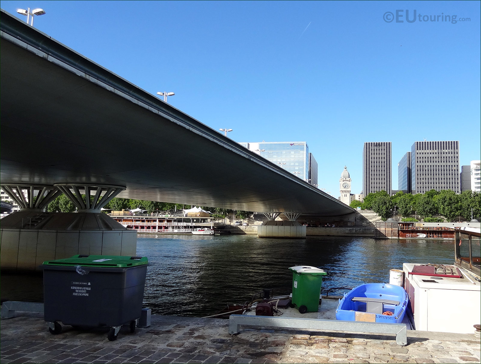
Seeing a rubbish bin by the quayside of the River Seine may not look exactly wonderful and the prettiest of sites, like you can see in this photo while we were by the south side of Pont Charles de Gaulle, but we must admit that we have found the city very clean and that is also testament to the people that live in Paris.
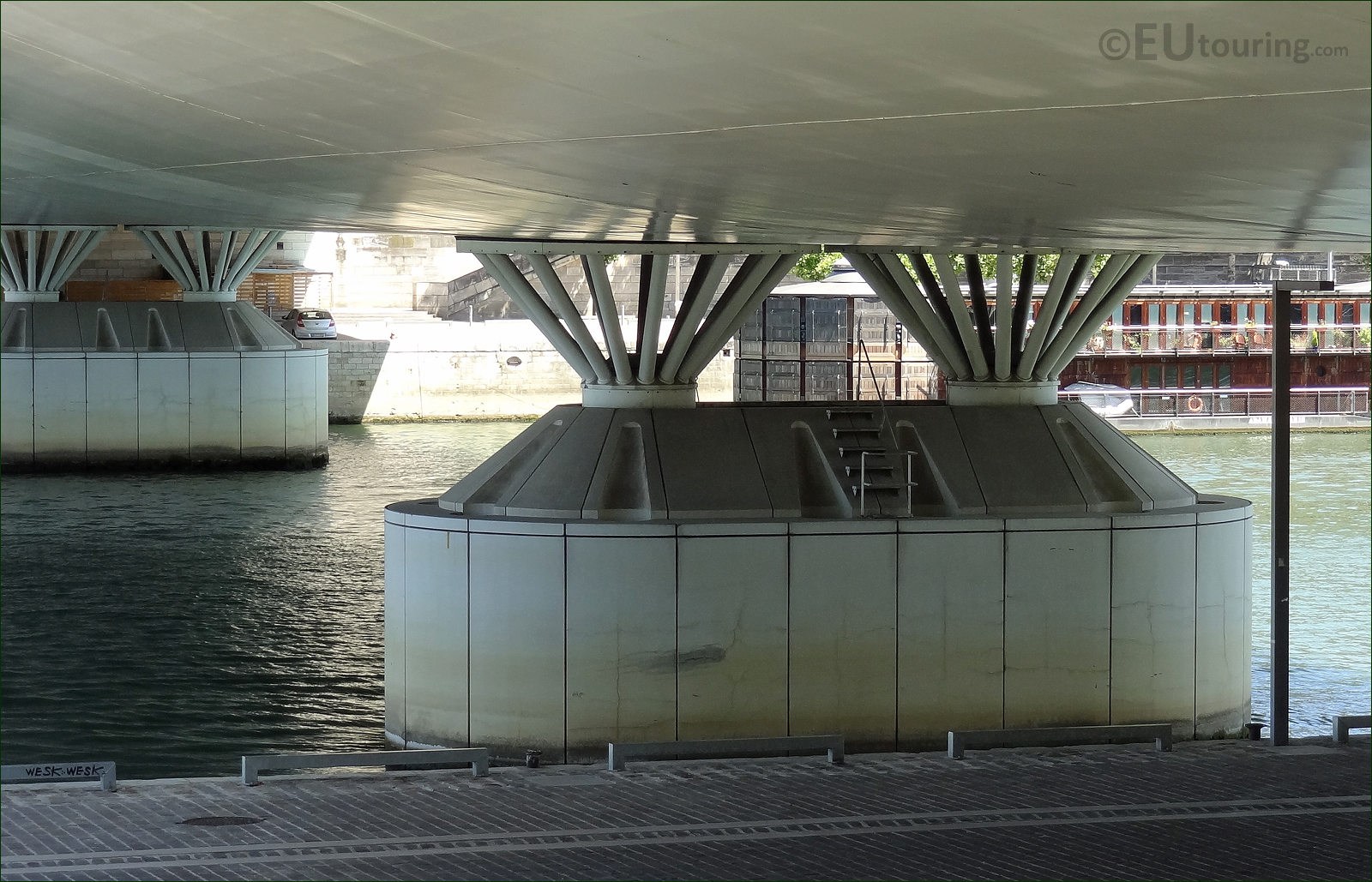
Close up HD picture of the support piers on the Pont Charles de Gaulle
While we were standing on the Quai d'Austerlitz directly underneath the Pont Charles de Gaulle, we took this photo showing one of the large piers, or cutwaters as they are sometime known as, and this bridge, which was constructed of steel and reinforced concrete took almost three years to complete.
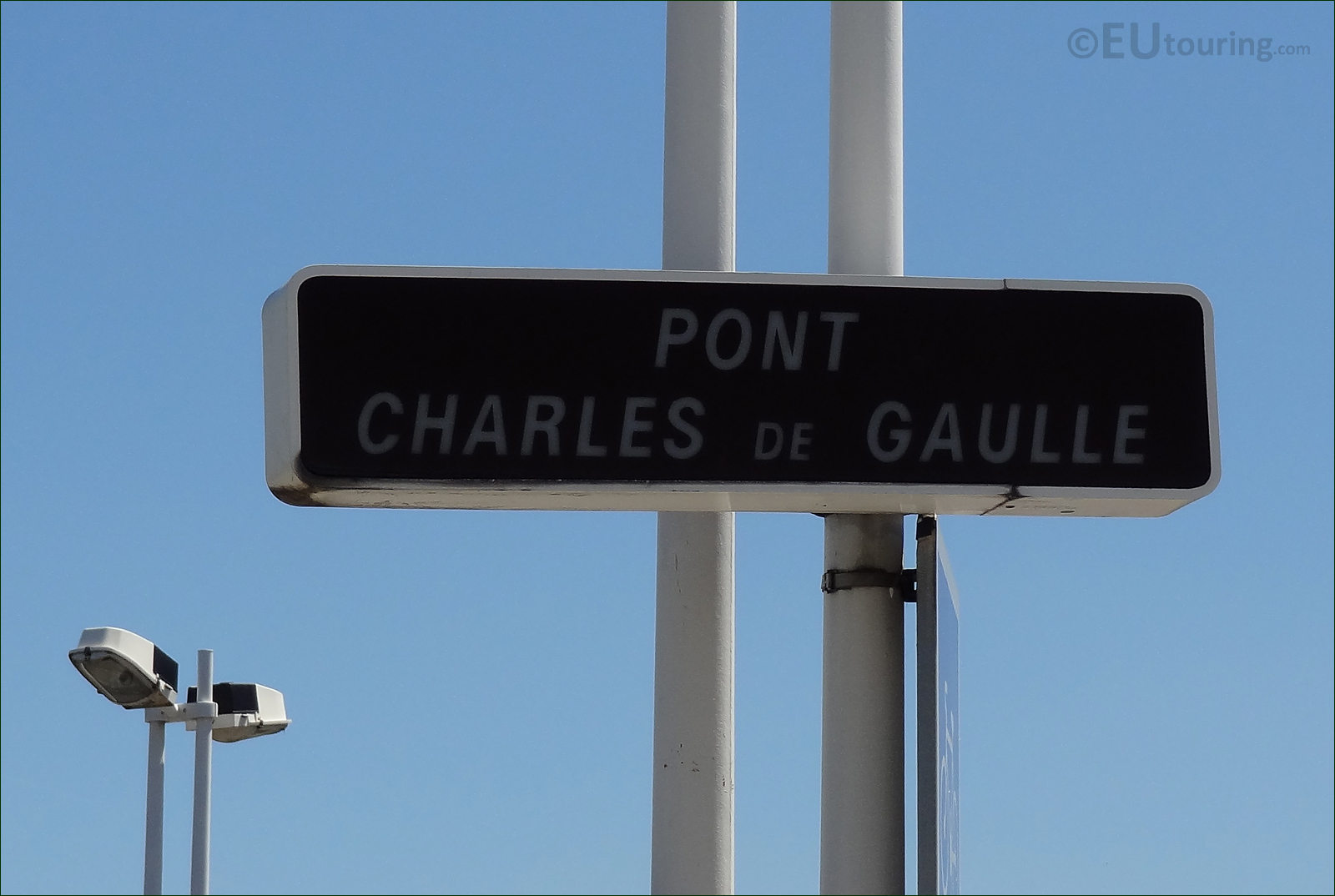
Street sign post for the Pont Charles de Gaulle bridge
Everywhere you look around the city, you will find name plaques have been erected, and as you can tell, this sign shows the Pont Charles de Gaulle bridge, and we took this picture while on the next to the bridge.
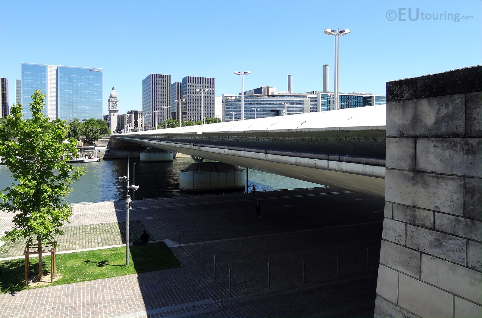
Photo of the modern buildings from the Bercy area in Paris with the Pont Charles de Gaulle
The Pont Charles de Gaulle was designed by the architects Louis Arretche and Roman Karasinski after they won a European design competition that was originally launched in 1987, and it fits well with the surroundings in the Bercy area that has many new and modern buildings, as you can see from this image.
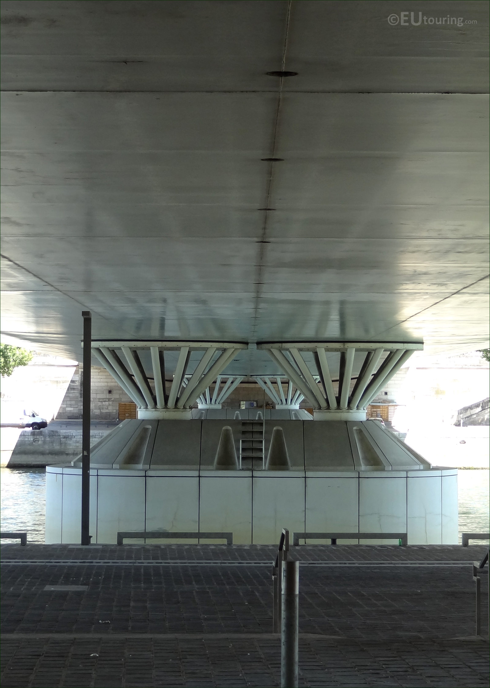
Picture showing the bridges piers with their steel bars that support the Pont Charles de Gaulle
The Pont Charles de Gaulle was only started in 1993 and construction eventually finished in the summer of 1996, and in this close up photograph taken from underneath the bridge, you can see the two large support piers, which go into the River Seine close to each bank, and these are topped with steel bars that are shaped like truncated cones.